2026年5月 今月のOpenStreetMap Japan
この記事は、OpenStreetMap Japan Discordの投稿内容をもとに生成AIが作成したドラフトを、編集者が加筆・修正したものです。
The English version follows the Japanese version.
This article is based on a draft generated by AI from discussions in the OpenStreetMap Japan Discord server and has been reviewed and edited by the editor.
2026年5月 今月のOpenStreetMap Japan
2026年5月のOpenStreetMap Japanコミュニティは、国土地理院のProject PLATEAU(プラトー)データの活用に関する議論や技術開発が大きく進展した一か月でした。また、秋に開催予定のアジアカンファレンスに向けた準備や、全国各地でのOpen Source Conference(OSC)参加に向けた調整も活発に行われました。
今月のトピック
TomTomによる建物高さ情報の自動追加提案
今月の最も大きな議論の一つは、TomTom社から提案された**「Project PLATEAUデータを活用した建物の高さ情報の自動追加」**に関するパイロットプロジェクトでした。 当初は大阪府全域を対象とする大規模なインポート計画が示されましたが、コミュニティからは「既存の精緻なマッピングデータとの整合性」や「OSMのインポートおよび組織的編集ガイドラインの遵守」を求める声が上がりました。
議論の結果、TomTom側はコミュニティのフィードバックを真摯に受け止め、以下の形で進めることとなりました。
- 対象範囲の限定: 大阪府ではなく、まずは「大阪市」に限定。
- 小規模テストの実施: プロセス検証のため、まずは14〜20棟程度の極めて限定的な範囲でテスト編集を実施し、その結果を公開・共有する。
- 既存データの尊重:
heightタグが未設定の建物にのみ情報を追加し、既存のタグや建物の形状(ジオメトリ)は一切変更しない。
このプロセスは、企業による大規模なデータ更新と、地域のコミュニティによる品質維持のバランスをどう取るかという、重要な事例となりました。
タグ付けに関する議論
多様な地物に関するタグ付け議論も活発に行われました。
- バリアフリーと縁石: 車椅子利用者の視点から、歩道と横断歩道の境界における縁石の高さ(
kerb=flush/lowなど)のタグ付けについて議論がありました。 - 国際的な名称表記: ベトナムなどの外国語を日本語でどう表記するか(
name:ja)について、現地での実用性とOSMの原則(現地語優先)の観点から意見が交わされました。 - 日本独自の習い事: 「着物の着付け教室」や「書道教室」など、標準的なプリセットにない地物をどう表現するかについて、
amenity=trainingを活用する案などが共有されました。
インフラ・運営のアップデート
コミュニティの基盤強化も進みました。
- 公式サイトの刷新: セキュリティ向上を目的として、OSM.JPのウェブサイトが静的サイトジェネレーターベースのシステムへ移行されました。
- Discordの管理体制: スパム対策や健全な運営のため、複数のメンバーが新たに管理者に加わりました。
マッピング活動
RapiD_Plateau の機能強化と進捗
Project PLATEAUの建物をOSMに取り込むためのツール「RapiD_Plateau」の開発が急ピッチで進みました。
- 技術改善: 建物リレーション(マルチポリゴン)の取り込み対応や、一部で発生していた頂点欠落バグの修正が行われ、より安全に利用できるようになりました。
- ダッシュボードの公開: 各自治体ごとの建物投入率を可視化するダッシュボードが作成され、進捗状況が一目で分かるようになりました。
- 教育現場での活用: 大学の授業にて本ツールを用いたマッピングが試行され、初心者でも高い効率で建物を入力できることが実証されました。
地域の整備状況と現地調査
「Mappy Hour Japan」などのオンラインイベントを通じて、全国各地でマッピングが行われました。
- インドアマッピング: 筑波大学などの教育施設において、JOSMやOpenLevelUpを用いた建物内部のマッピングが試行されました。
- 新旧の道路整備: 広島での新しい道路の開通確認や、逆に災害等で通行不能になった林道のアクセス制限(
access=no)の設定など、現地調査(サーベイ)に基づく更新が行われました。 - 住所データの整理: 東京都内を中心に、住所タグ(
addr:*)の正規化や、重複データの修正が広範囲に進められました。 - 地方・離島の整備: 沖縄や金沢、桜島など、航空写真の更新に合わせて建物や森林、公共施設が描き足されました。
イベント・対外活動
State of the Map Asia 2026 大阪
アジア最大級のカンファレンスであるSotM Asia 2026の大阪開催に向けた準備が正式に動き出しました。
- 開催概要の決定: 2026年9月6日〜7日に大阪市の中崎町で開催されることが採択されました。
- FOSS4Gとの連携: 直前に広島で開催される「FOSS4G 2026 Hiroshima」の公式コミュニティイベントとして位置づけられ、国内外の参加者が両方のイベントを巡れるよう調整が進んでいます。
- ボランティア募集: プログラム編成やスポンサー調整のため、国内外からボランティアの募集が開始されました。
OSCおよび地域イベント
各地のオープンソース系イベントへの参加計画が具体化しています。
- OSC 2026 Sendai / Hokkaido: 6月の仙台および北海道でのブース出展やセミナー登壇の準備が進められています。
- Civic Tech Forum 2026: 大阪で開催されたフォーラムにブース出展し、地域経済とマッピングの持続可能性について議論が行われました。
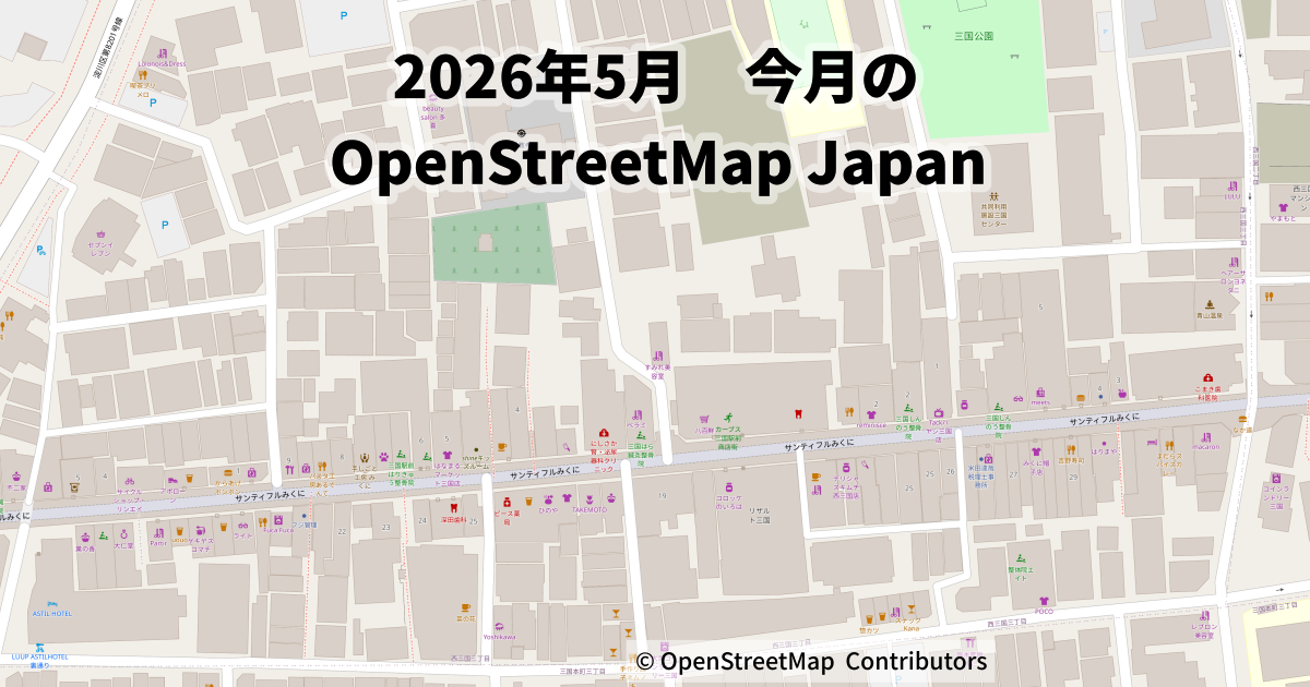
- マッピングパーティ: 大阪府淀川区の三国(三国本町、西三国など)など、各地で対面のイベントが開催され、商店街の詳細なマッピングなどが実施されました。
今後の予定
- 2026年6月定例会: 6月上旬に開催予定。OSM.JPサイトの運用や、OSCへの出展準備が議題となります。
- OSC 2026 Sendai: 6月6日開催。東北エリアでのコミュニティ活動をアピールします。
- OSC 2026 Hokkaido: 6月27日開催。札幌でのセミナーと、翌日のマッピングイベントが予定されています。
- SotM Asia 2026 準備: プログラムの具体化と、さらなるボランティアチームの拡大を継続します。
今月も、最新技術の導入から地道な現地調査まで、多様な活動がOpenStreetMapを支える原動力となりました。興味のある方は、ぜひDiscordの各チャンネルや週末のMappy Hourを覗いてみてください。
This Month in OpenStreetMap Japan – May 2026
The OpenStreetMap Japan community had a productive month in May 2026, marked by significant progress in discussions and technical development around the use of Japan’s national Project PLATEAU 3D city model data. Preparations also advanced for the upcoming State of the Map Asia 2026 conference in Osaka, while community members continued outreach efforts through regional Open Source Conference (OSC) events across Japan.
Highlights of the Month
TomTom Building Height Import Proposal
One of the most significant topics this month was a pilot project proposed by TomTom to add building height information to OpenStreetMap using data from Project PLATEAU.
The initial proposal envisioned a large-scale import covering the entirety of Osaka Prefecture. Community members raised concerns regarding compatibility with existing mapping efforts and compliance with OpenStreetMap’s import and organized editing guidelines.
Following community feedback, TomTom agreed to proceed with a more cautious approach:
-
Reduced scope: The project will initially focus on Osaka City rather than the entire prefecture.
-
Small-scale testing: A limited test involving approximately 14–20 buildings will be conducted first, with results shared publicly.
-
Respect for existing data: Height information will only be added where no existing
heighttag is present. Existing tags and building geometries will remain unchanged.
The discussion became an important example of how large-scale corporate data contributions can be balanced with local community review and quality assurance.
Tagging Discussions
Several tagging-related topics were discussed during the month:
-
Accessibility and kerbs: Community members discussed how to represent kerb heights at pedestrian crossings using tags such as
kerb=flushandkerb=low, particularly from the perspective of wheelchair users. -
International naming conventions: Discussions covered how foreign-language place names, including Vietnamese names, should be represented in Japanese (
name:ja) while respecting OpenStreetMap’s principle of prioritizing local-language naming. -
Japan-specific educational activities: Contributors explored how facilities such as kimono dressing schools and calligraphy schools could be represented, including possible use of
amenity=training.
Infrastructure and Community Operations
Several improvements were made to community infrastructure:
-
Website migration: The OSM.JP website was migrated to a static-site-based platform to improve security and maintainability.
-
Discord moderation: Additional moderators joined the Discord administration team to strengthen spam prevention and support community management.
Mapping Activities
Progress of RapiD_Plateau
Development of RapiD_Plateau, a tool designed to facilitate the integration of PLATEAU building data into OpenStreetMap, continued rapidly.
Highlights included:
-
Support for importing building multipolygons and fixes for geometry-related issues.
-
Publication of a dashboard visualizing building import progress by municipality.
-
Successful use of the tool in university classes, demonstrating that newcomers can efficiently contribute building data using the workflow.
Local Mapping and Field Surveys
Community members continued mapping activities across Japan, including through online events such as Mappy Hour Japan.
Notable activities included:
-
Indoor mapping: Experiments with indoor mapping at educational facilities, including the University of Tsukuba, using JOSM and OpenLevelUp.
-
Road network updates: Verification of newly opened roads in Hiroshima and updates to access restrictions on roads affected by disasters and other closures.
-
Address improvements: Ongoing normalization and cleanup of address (
addr:*) data, particularly in the Tokyo metropolitan area. -
Regional mapping: Updates to buildings, forests, and public facilities in areas such as Okinawa, Kanazawa, and Sakurajima following the availability of newer aerial imagery.
Events and Outreach
State of the Map Asia 2026 Osaka
Preparations officially began for State of the Map Asia 2026, one of the largest OpenStreetMap conferences in the region.
Key developments included:
-
Confirmation that the conference will take place on 6–7 September 2026 in Osaka.
-
Coordination with FOSS4G 2026 Hiroshima, positioning SotM Asia as a related community event that international visitors can attend alongside FOSS4G.
-
Launch of volunteer recruitment efforts for programme planning and sponsorship coordination.
OSC and Regional Events
Planning continued for participation in open-source and civic technology events throughout Japan.
-
OSC 2026 Sendai and OSC 2026 Hokkaido: Preparations are underway for exhibition booths and presentations.
-
Civic Tech Forum 2026: Community members exhibited at the event in Osaka and discussed the sustainability of regional mapping activities.
-
Mapping parties: In-person mapping events were held in several locations, including Mikuni in Osaka City, where participants conducted detailed surveys of local shopping streets.
Looking Ahead
Upcoming activities include:
-
June 2026 Monthly Meeting: Discussion topics will include operation of the OSM.JP website and preparations for OSC events.
-
OSC 2026 Sendai (6 June): Outreach activities in the Tohoku region.
-
OSC 2026 Hokkaido (27 June): Presentations in Sapporo followed by a mapping event the next day.
-
SotM Asia 2026 Preparation: Continued programme development and expansion of the volunteer team.
From advanced data integration projects to detailed local field surveys, the OpenStreetMap Japan community continued to strengthen and improve the map throughout May. Anyone interested in contributing is encouraged to join the community discussions on Discord or participate in Mappy Hour and other community events.
editor : Hokkosha